


- QIC
- / News and insights
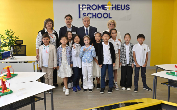
News and insights
Fund of private equity funds, created to promote sustainable development of the economy of the Republic of Kazakhstan
We work for the benefit of Kazakhstan


The main objective of Qazaqstan Investment Corporation is to attract local and international investors to co-finance projects in non-resource sectors of the economy, mainly in the Central Asian region with a focus on Kazakhstan. Financing is carried out through QIC private equity funds. As of today, the Corporation is a member of 18 private equity funds with a total capitalization of
$2.1 billion.
QIC develops Kazakhstan's direct investment market and forms an infra structure to attract international players in the field of direct investment.
Learn moreInvesting in the future
We invest in priority areas for society and the country - healthcare, agriculture, food security, green energy, innovative and high-tech projects and much more.
For each dollar invested from its own funds, QIC attracts $2.1 US dollars from the funds of foreign partners
Узнать большеQIC is a key player in the private equity market in Kazakhstan, our activities are aimed at creating a private equity infrastructure in the country, attracting foreign investment in priority sectors of the economy, promoting the development of businesses with Kazakhstani roots in the country and the world
Success stories
View allQIC, through its private equity funds, provides capital to companies from micro, small businesses and startups with high growth potential, to large projects and city-forming enterprises. Since the creation of QIC, 106 projects have been funded.
Learn more


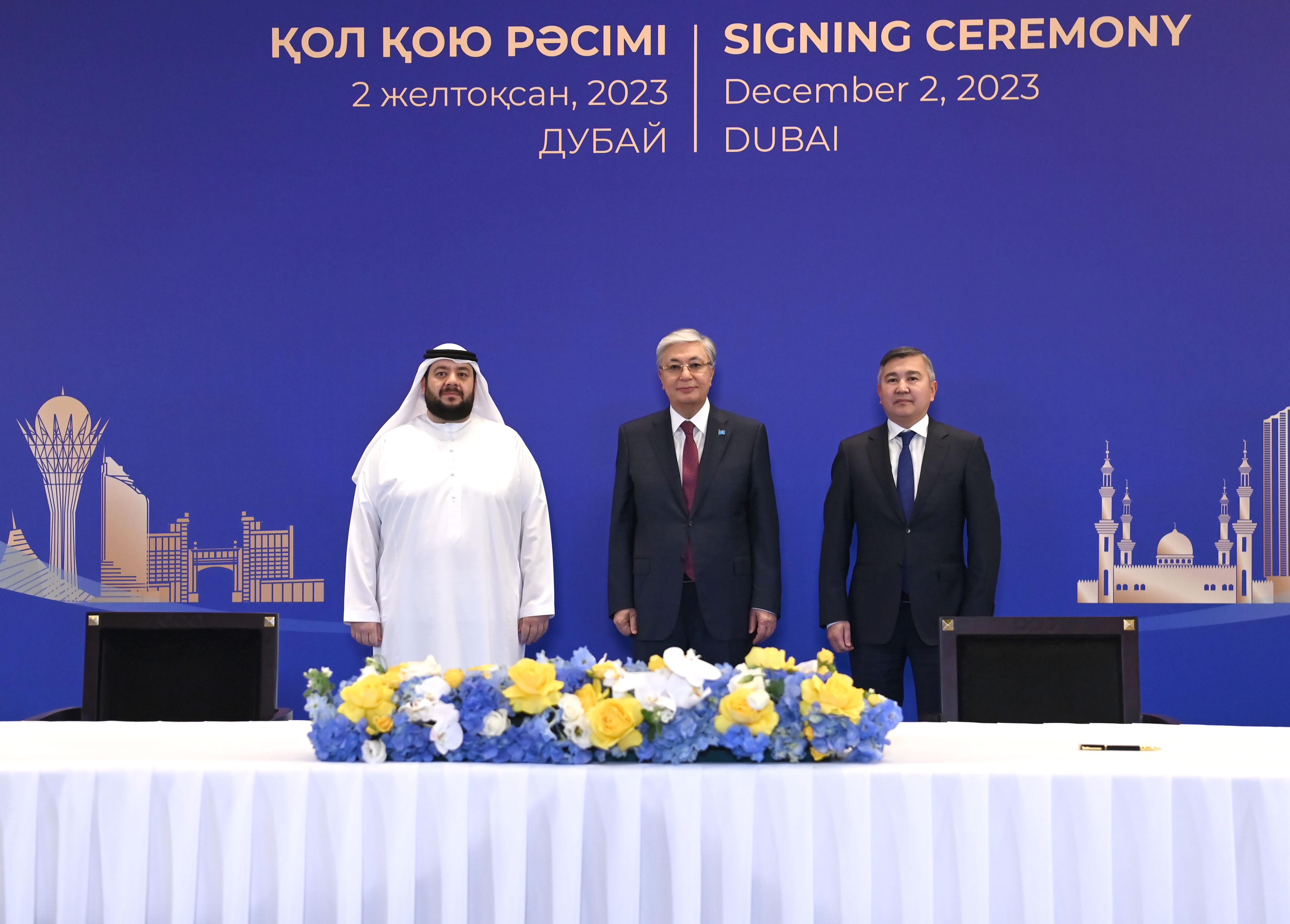
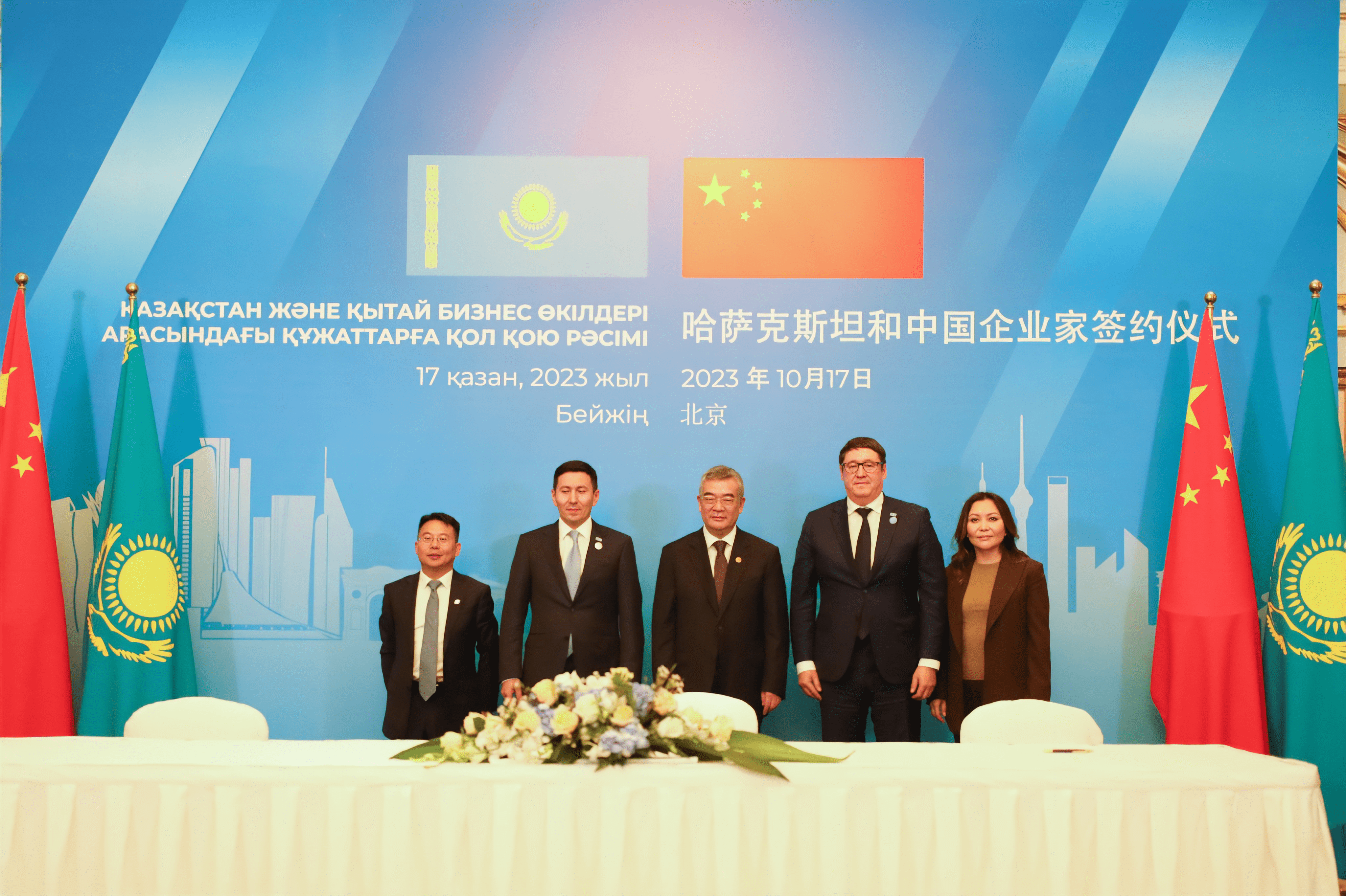
News and insights
See all


Useful resources

A joint venture established in 1997 by the Tepe and Akfen groups and Airport Consulting Vienna

The company is a member of the Macquarie Russia and CIS Infrastructure Fund C.V. The first fund closure was carried out in February 2009 with QIC and other investors. The fund is focused on the construction of roads and railways, airports, ports and power supplies.

During the existence of KCM, 4 funds were created jointly with the EBRD (ADM Kazakhstan Capital Restructuring Fund, Aureos Central Asia Fund, Kazakhstan Growth Fund, and Macquire Russia and CIS Infrastructure Fund) focused on investments in Kazakhstan and the CIS countries.

QIC creates a dynamic ecosystem for the sustainable development of the country


